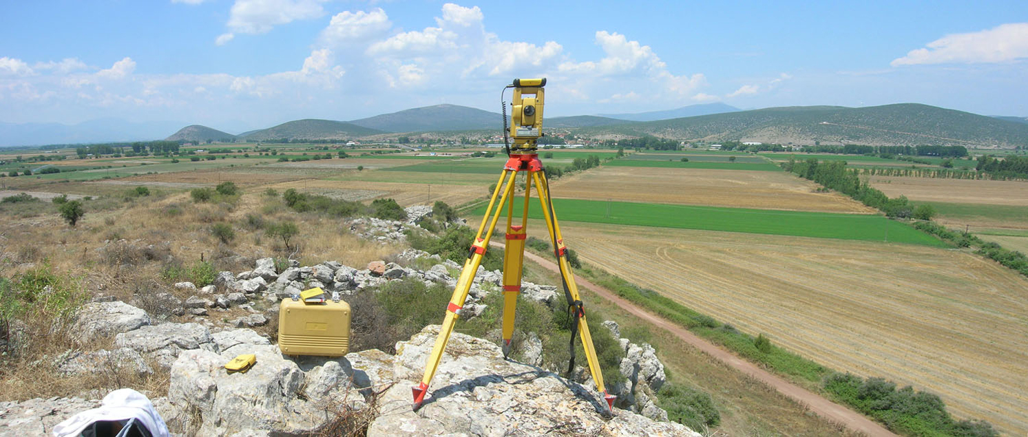
Survey
Divetech Marine Engineering services is one of the fastest growing service providers in the offshore marine industry working towards enhancing growth in the commercial marine sector. DIVETECH SURVEY WING is formed to provide our clients with our valuable support in wide range of survey, positioning and data management services along with our other services.
We are indebted to provide high quality data and accuracy data to support various engineering services for the growing market by using the latest available techniques and instruments to our clients in the marine offshore and onshore sector.
Data Collection
- Wave Measurement
- Tide Measurement
- Currents Measurement
- Water Sampling
- Sediment Sampling
- Salinity Measurement
- Temperature Measurement
- Geomorphology
- Land Use
- Fisheries
- Flora and Fauna
Survey
- Bathymetric Survey
- Seismic Survey
- Side Scan Survey
- Upland Topographic
- Beach Profiling
- HTL, LTL Demarcation
- Underwater Photography & Videography
Metocean
- Development of extreme design
- Parameters for structural design
- Storm Surge and Coastal
- Inundation Assessments
- Wave and Current
- Hindcasting/forecasting
Geo-Spatial
GIS maps are used at all stages of the project cycle from survey planning, data analysis through to interpretation and reporting.
- Land Use Mapping
- Coastal Geomorphology Mapping
- Coastal Inventory Mapping
- Habitat Mapping
- Shoreline Change Assessment
- Other relevant Mapping and Analysis
Navigation
- Vessel Motion Manoeuvring
- Mooring System Design
Coastal Numerical Modelling
- Current Circulation
- Wave Transformation
- Wave Attenuation in Harbours
- Sediment Transport
- Shoreline Change/Stability
- Coastal Morphodynamics
- Marina Flushing
- Plume Dispersion
- Oil Spill
- Particle Tracking
- Coastal Structure’s Performance
- Optimisation of Coastal Outfalls
Environmental Modelling
- Water Quality Modelling related to rivers, estuaries,
- Coastal waters and the sea for EIA study
- Water Quality Forecast
- Cooling Water, Desalination, Pollutant
- Dispersion and Recirculation
- Dredge Spill
- Heavy metals
- Eutrophication
- Xenobiotic
Coastal and Marine Structures
- Seawater Intakes and Outfalls
- Breakwaters, Groynes and Jetties
- Block Quay wall, Sheet Pile
- Fenders and Harbour Facilities
- Scour Protection
- Overtopping
Marine Environmental Assessment
- Baseline Survey
- Compliance Monitoring, including water and sediment sample collection and analysis of Physical | Chemical | Biological | Microbial | Sediment Quality
- Fisheries
- Mangrove Ecosystem Implementation/Restoration
- Environmental Risk Assessment and Due Diligence
- Under Water Photographic and Videographic Survey
- Agency Coordination


